Hyperion
One event.
Multiple systems.
A decision-support system for compound urban flooding that reads rainfall, tide, river stage, terrain, drainage, and exposure together — with a calibrated 0–6 hour nowcast and visible uncertainty.
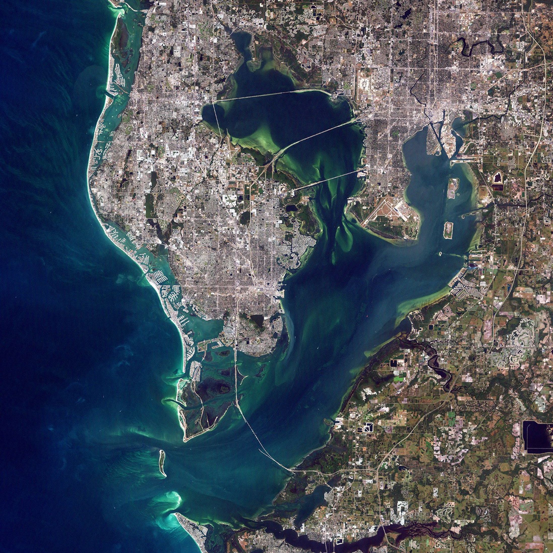
The event, in one frame
Hyperion is an operational intelligence layer for compound urban flooding.
It reads rainfall, tidal loading, river response, terrain, drainage, and the built environment in one regional frame. Instead of treating those signals as separate alerts, it makes their interaction inspectable for the people deciding what to watch and where to prepare.
How the work is approached
Flood decisions are often assembled from fragments: a rainfall warning, a tide chart, a river gauge, a static susceptibility map, and a forecast that does not make its limits clear. That fragmentation can create both delay and false precision at the moment an operator needs a coherent regional picture.
Hyperion combines a shared decision architecture with regional adapters rather than assuming that one map or model transfers unchanged everywhere.
The work joins common data layers, susceptibility and event modelling, compound nowcasting, calibrated scores, visible uncertainty, event-specific validation, and transfer testing. The interface keeps evidence and model limits close to the decision, not hidden behind a single risk label.
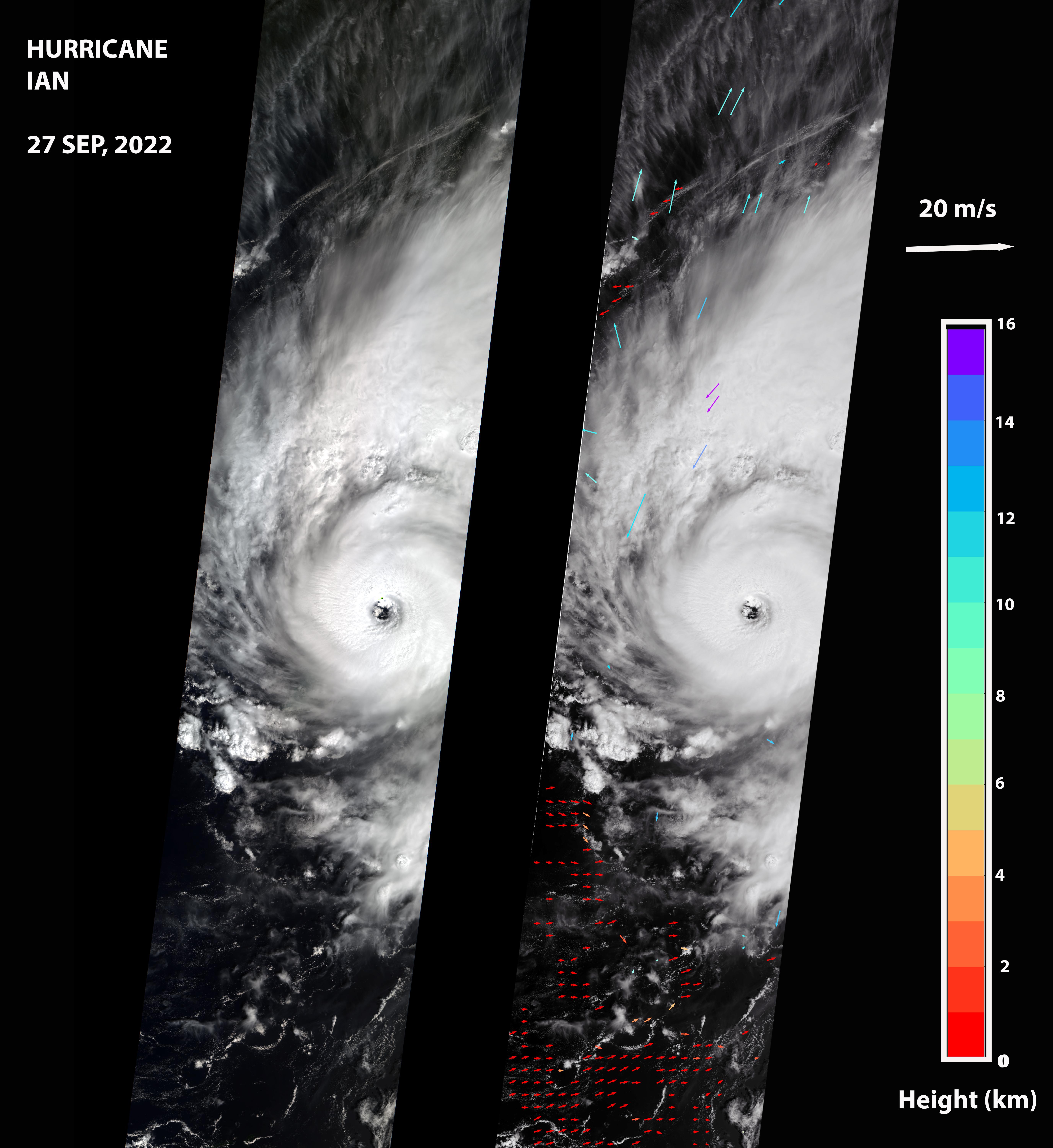
What it can contribute
Hyperion gives Genesis contact with a bounded physical world in which several causal systems interact at once.
It can contribute spatial relations, temporal dynamics, incomplete observations, uncertainty under real consequences, and transfer between environments — while preserving the evidence that the same schema can require different regional interpretations.
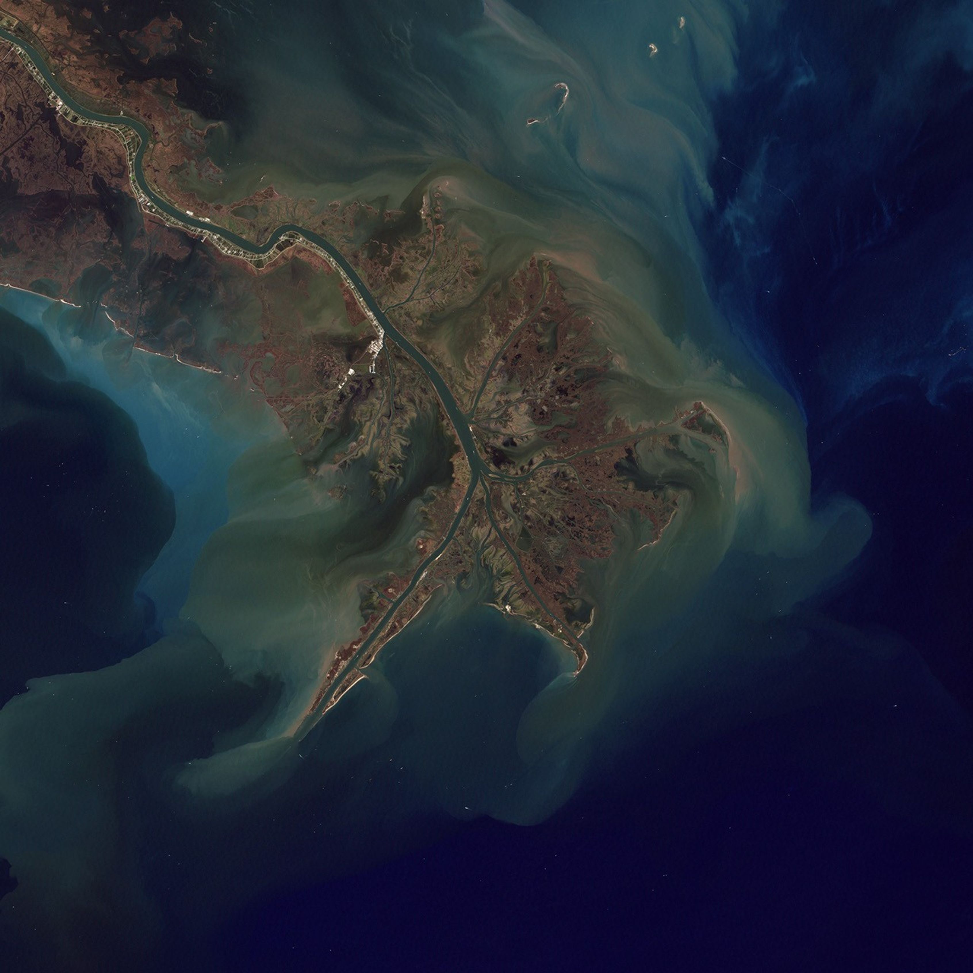
The state today
The modelling stack is being developed as a data and operations pipeline across the first-phase US regions. Its outputs are designed to show uncertainty rather than hide it.
The current product frame is an approximately 0–6 hour regional nowcast. It does not claim deterministic, address-level prediction at any horizon.
- TypeEnvironmental intelligence
- StatusActive research