One event frame
Reads rainfall, tide, river, terrain, drainage and exposure together instead of passing operators between separate screens.
Hyperion brings rainfall, tide, river, terrain and exposure into a shared 0–6 hour regional frame. Sources, scenario scores and uncertainty stay visible so teams can prepare with context.
When those drivers rise together, a rainfall-only view hides the physical conditions that shape the event.
Live NHC/NWS briefing sits beside historical compound-event evidence, relative cell scores and dual-gate hours. This is a research preview, not a deterministic street-level forecast.
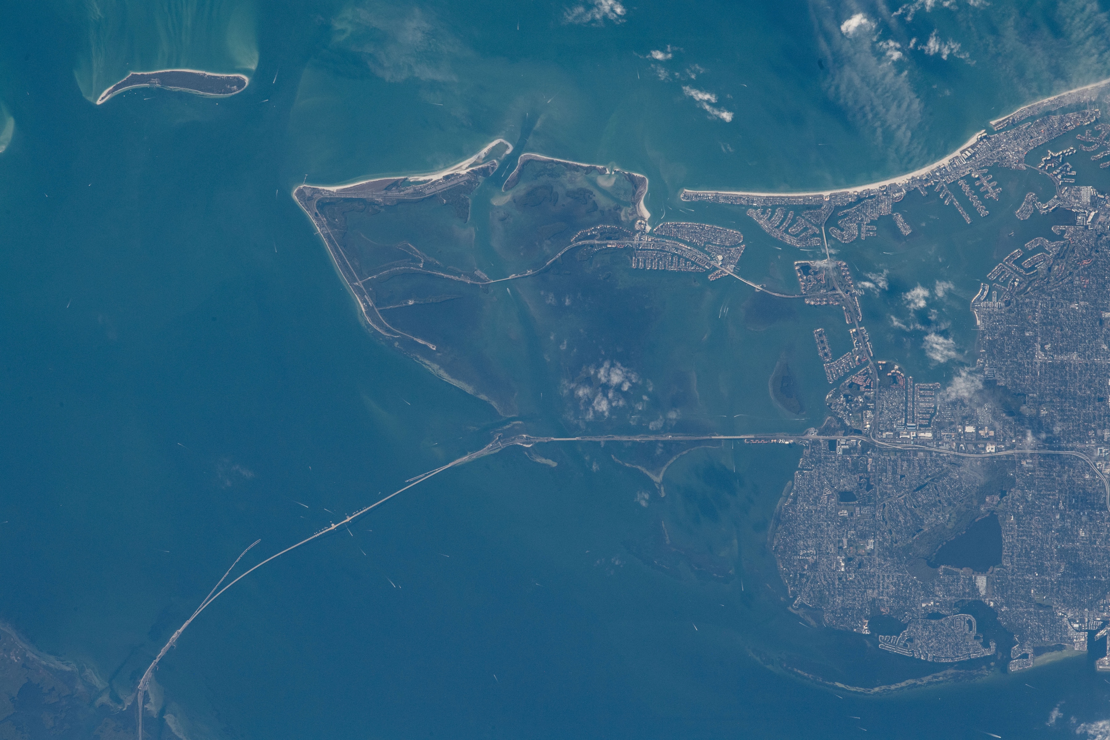
The physical systems are visible in the same decision frame: coastal geometry, river discharge, terrain and the built environment. Every image below is original NASA imagery.
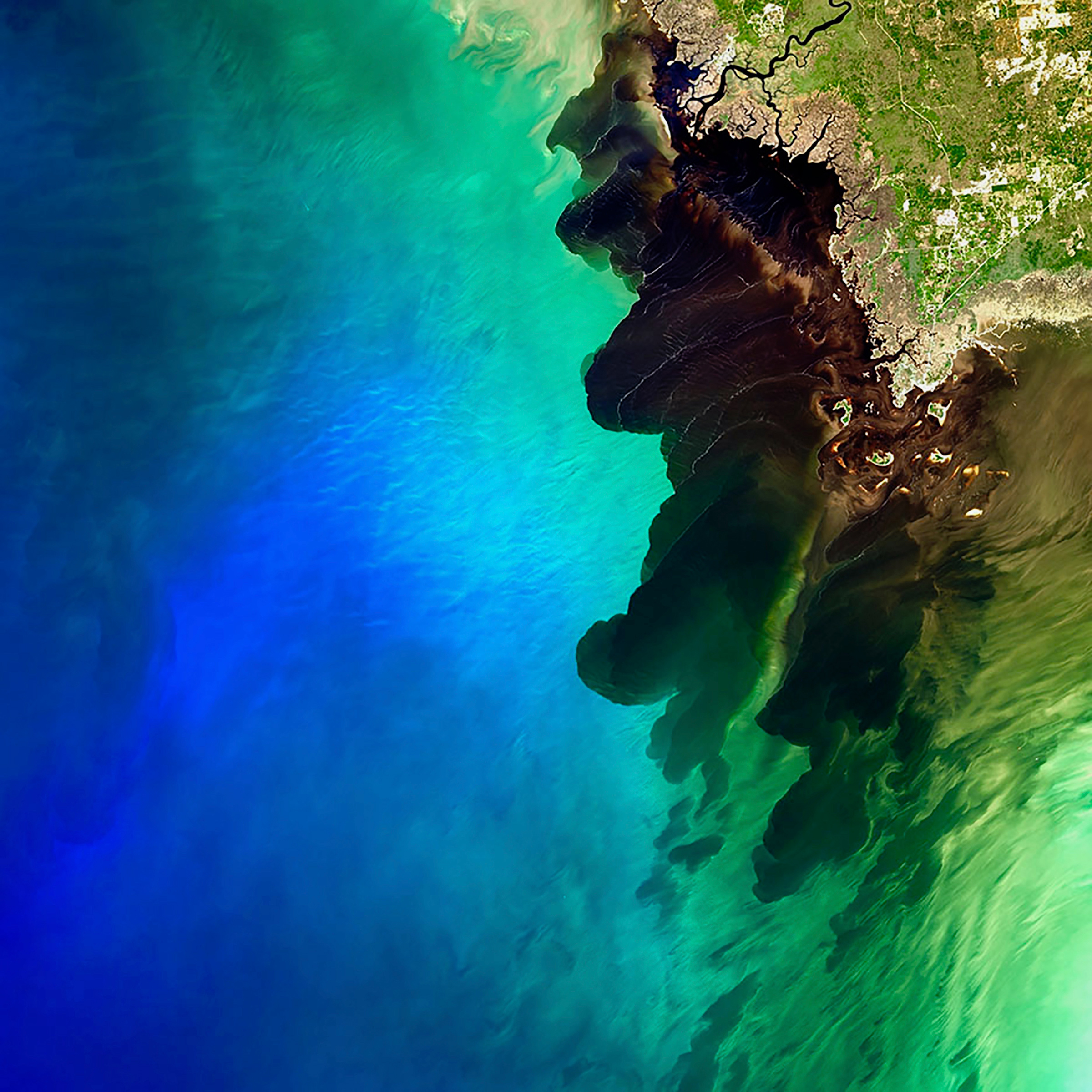
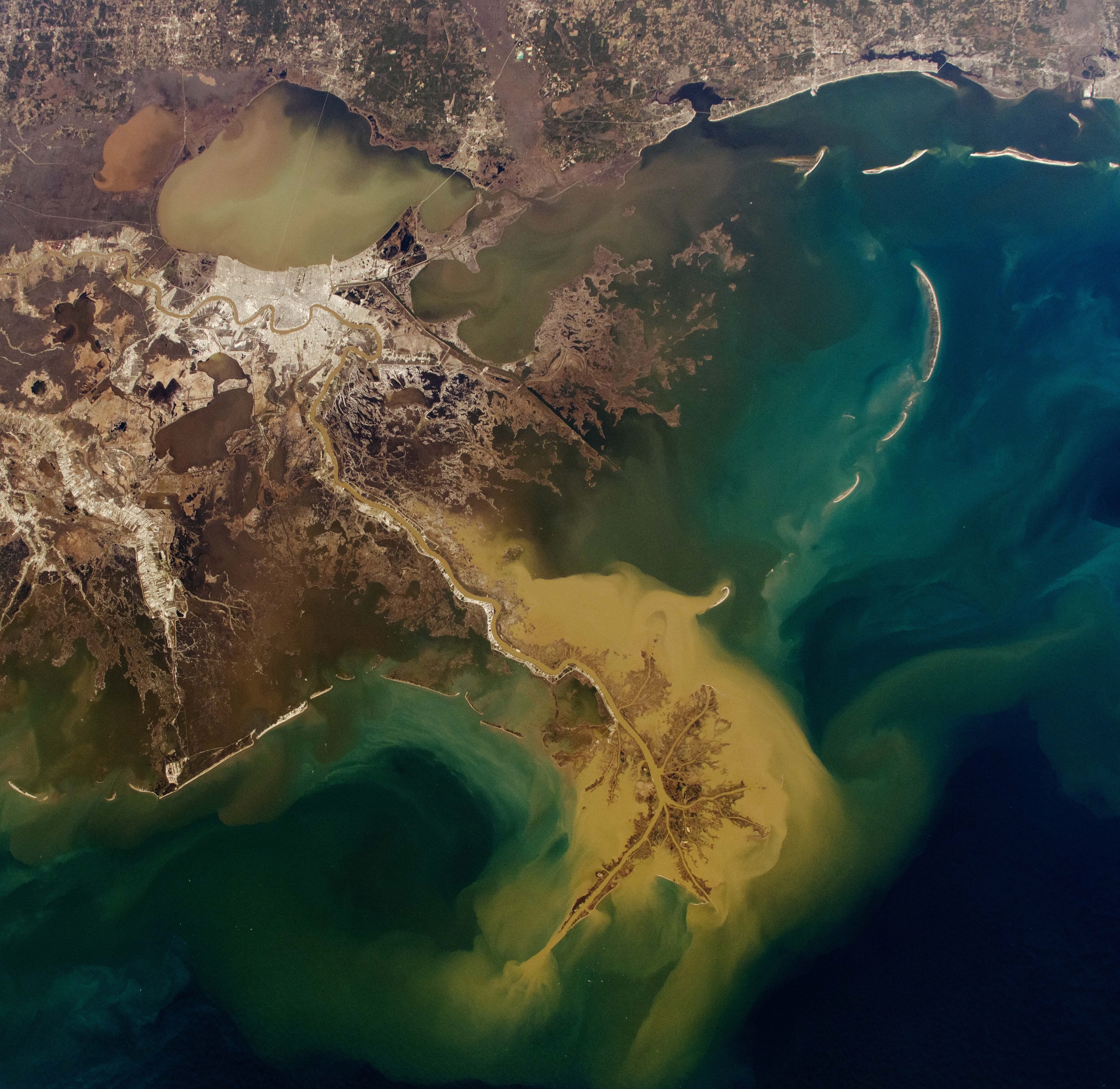
Rain, tide, river and terrain are read together. Live tropical status comes from federal NHC/NWS feeds; compound cell scores and dual-gate hours are processed historical evidence for training and prep — not a live street-level inundation forecast.
Reads rainfall, tide, river, terrain, drainage and exposure together instead of passing operators between separate screens.
Keeps source evidence, scenario scores and calibrated ranges in view, rather than presenting a false single answer.
Supports preparation in the next hours with live NHC/NWS context and historical compound-event evidence — not a street-level flood forecast.
Canonical Gulf labs plus multi-event expansion from Texas through the Mid-Atlantic and Gulf Coast — the same 13-lab network the Operator console uses.